Tornadoes Touched Down in Altamont, Montrose Wednesday Evening

Published on April 3 2025 3:49 pm
Last Updated on April 4 2025 5:46 am
Written by Greg Sapp
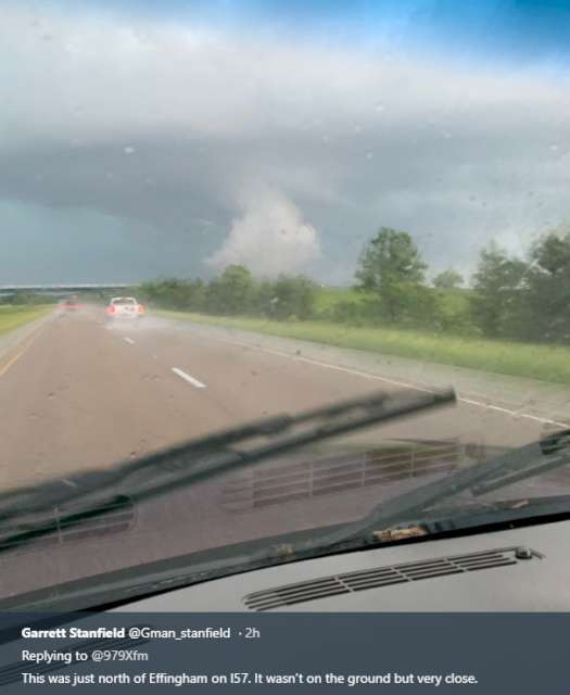
(PHOTO OF A TORNADO IN RECENT YEARS TAKEN BY GARRETT STANFIELD)
The National Weather Service has confirmed that tornadoes touched down at Altamont and Montrose on Wednesday evening.
The NWS storm survey determined that an EF-1 tornado touched down southeast of Altamont between 6:08pm and 6:11pm. The tornado track was along North 500th Street, about a half-mile north of East 700th Avenue. A home in the affected location lost a portion of its roof. Other damage to trees was noted along the path.
The tornado produced peak winds of 105MPH along a path of 2.55 miles with a maximum width of 125 yards.
Another tornado touched down along East 1400th Avenue, east of 2100th Street, between 6:24 and 6:27pm, damaging outbuildings on a farm. The twister tracked northeast and reached its peak intensity near the intersection of 2300th Street and 1500th Avenue, where it bent over five power poles. The tornado appeared to lift just shy of the Jasper County line, north of 1600th Avenue.
The tornado was rated an EF-1 with estimated peak winds of 110MPH, tracing a 3.56 mile path of up to 100 yards wide.


